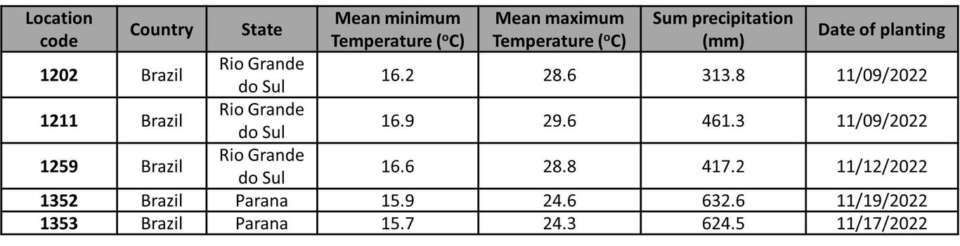
Plant breeding programs demand efficient and accurate methods for crop phenotyping, especially for economically important crops like soybeans. Traditional manual assessment methods are labor-intensive and prone to errors. The emerging field of phenomics leverages advanced technologies, including high-resolution satellite and drone imagery, to monitor crops in a time, cost and labor efficient way. Drones offer localized, high-resolution data but have limitations in coverage and operator skills. In contrast, high-resolution satellite imagery provides broad-scale views of the vegetation with increasing improvements in spatial and temporal resolution.Our study investigates the potential of high-resolution satellite imagery as an alternative to drone imagery for assessing soybean maturity and monitoring the crop condition in a small plot breeding program. We compare the efficiency of these two technologies and we explore the utilization of various vegetation indices (VIs) derived from satellite-based multispectral imaging sensors for maturity estimation, indirect assessment of essential plant traits and identification of the growing patterns of different maturity groups.Our findings reveal the promise of high-resolution satellite imagery as a valuable tool in soybean phenotyping, addressing the spatial scale challenges in breeding programs. With advances in spatial resolution, satellites can provide detailed insights into crop health, productivity, and resource management. This research contributes to the evolution of precision agriculture, offering a cost-effective and scalable solution for monitoring soybean maturity and enhancing crop adaptability and yield.