Longitudinal dispersivity is a key parameter for numerical simulation of groundwater quality and this parameter is highly variable in nature. The use of empirical equations and the inverse solution are two main methods of estimating longitudinal dispersivity. In this study, the estimation of values and aquifer-wide spatial distribution of longitudinal dispersivity parameter using a combined approach i.e. a combination of empirical equation method (Pickens and Grisak, Arya, Neuman, and Xu & Eckstein equations), the inverse solution method (using the MT3DMS model with non-automatic calibration) and the aquifer zoning technique is investigated. The combined approach applied to Bandar-e-Gaz aquifer in northern Iran, and Willmott’s index of agreement was used to assess the precision of simulation of total dissolved solids in this aquifer. The values of this criterion were 0.9985 to 0.9999 and 0.9756 to 0.9992 in calibration and validation periods that show the developed combined approach resulted in obtaining high precision for both calibration and validation periods and the simulation show remarkable consistency. Also, the one-way sensitivity analysis indicates that the longitudinal dispersivity is more sensitive than the effective porosity in this simulation. The investigation of the spatial distribution of the estimated longitudinal dispersivity by the combined approach indicates that the value of the parameter has a decreasing trend from the south to the north (50 to 8 m) in the aquifer environment which is consistent with the changes in the characteristics of porous media in this study area, and therefore it concludes that the combined approach provides a reliable and appropriate estimation of the spatial distribution of longitudinal dispersivity.
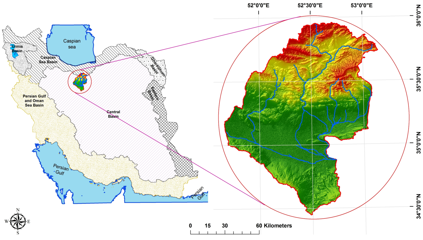
The prediction of future land cover changes is an important step in proper planning and management of watersheds. Various methods exist for this purpose. In this study, land cover changes were investigated in the Hable-Rud River basin in Iran, an arid and semi-arid region, using remote sensing and Geographic Information Systems (GIS). First, a supervised classification technique was applied to Landsat images acquired for 1986, 2000 and 2017 using the maximum likelihood method. Then, using pixel-by-pixel change detection, the land cover changes were predicted for 2017 and 2040 using a Cellular Automata (CA)-Markov model. The descriptive variables used included slope, aspect, elevation, and calculated distances from various land features such as rivers, roads, industrial areas, residential areas, saline land, and land in agricultural production. The predictions for 2017 were validated using the derived map from a Landsat image of 2017 with a resulting standard Kappa index of 0.74. According to the prediction results for 2040, the areas of rangeland and saline land will increase by approximately 6.5% and 2%, respectively, whereas the areas of bare land and agricultural land will decrease by approximately 6% and 2%, respectively. Moreover, the analysis of historical records since 1986 showed that the annual streamflow and precipitation have reduced by almost 44% and 29%, respectively. The reductions, particularly to streamflow, can be attributed largely to agriculture expansion, rapid population growth, and industrial developments. The analysis of the results indicates a need for more effective design, planning, and development of land cover policies for ecosystem protection.